
Morocco will experience significant weather fluctuations from Tuesday through early next week, with cold temperatures, rain, occasional snow, and strong winds, according to the country’s meteorological authority.
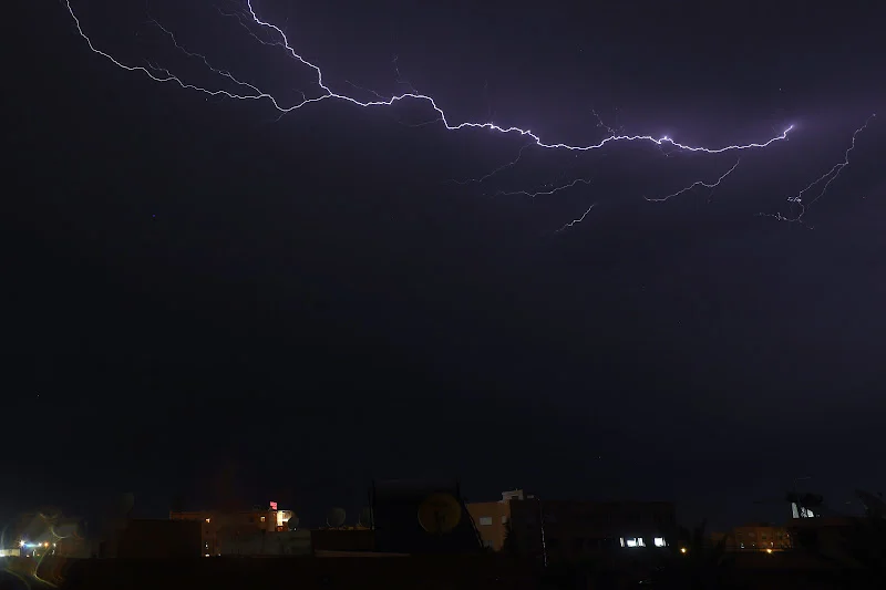
Houcine Youabed, head of communication at the Directorate General of Meteorology, said a cold upper-level air mass interacting with moist Atlantic currents is expected to destabilize the atmosphere over several regions, resulting in rain showers, thunderstorms, snowfall, and a noticeable drop in temperatures.
On Tuesday, temperatures will be relatively low over highlands and plateaus, with snowfall expected in the southern High Atlas above 1,800 meters. Heavy clouds and potential rain or thunderstorms are forecast in the Chaouia, Souss, Abda, Doukkala regions, and the southern High Atlas in the afternoon.
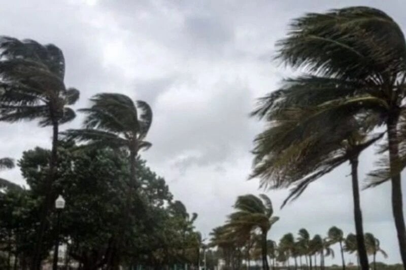
Overnight, rainfall will extend to northern and central Atlantic plains, Tangier, Loukkos, the Middle and High Atlas, and northern desert areas, with strong winds along the central coast.
On Wednesday, cold and rainy conditions are expected to continue. Snowfall is forecast in the High and Middle Atlas above 1,700 meters, while rain and isolated thunderstorms are expected in Tangier, the Rif, Loukkos, and northern west regions.
Scattered showers may occur along the Mediterranean coast, Saïs plains, and northern Atlantic plains. Winds will remain strong, particularly in the south, occasionally causing localized dust, and daytime temperatures will drop.
Thursday will bring continued rain, with relatively cold conditions over the Atlas, Rif, southeast regions, and plateaus. Skies are expected to remain mostly cloudy and rainy in Tangier, Loukkos, the west, and the Rif, with scattered showers over the northern Atlantic plains, Middle Atlas, and northern eastern regions. Daytime temperatures may rise slightly, but this does not signal the end of the unsettled weather.
From Friday through early next week, a new, more active weather system accompanied by cold upper-level air is expected to approach Morocco, bringing renewed instability. Rain and showers are forecast across northern and central regions, with snow in the Atlas, Rif, and eastern areas.
Strong winds are expected locally over central and southern areas and along the coast, with temperatures dropping significantly, especially on Saturday and Sunday.
The Directorate General of Meteorology issued an orange alert for snow above 1,800 meters in Al Haouz, Chichaoua, Azilal, Ouarzazate, and Taroudant provinces, with snow accumulation expected between 10 and 20 centimeters from 6 p.m. Tuesday to 6 p.m. Wednesday.
Strong winds of 70–80 km/h are forecast in Figuig, Oujda-Angad, and Midelt on Tuesday from 3 a.m. to 3 p.m., potentially reducing visibility due to dust.
Authorities urged residents to exercise caution, especially drivers in mountainous or windy areas, and to follow official weather updates for potential developments.








add your comment
Terms of publication : Not to offend the writer, people, sacred things, or attack religions or the divine self, and refrain from racist incitement and insults.