
Some regions of Morocco experienced heavy rainfall over the past 24 hours, driven by an Atlantic low-pressure system and the influx of cold air in the upper atmosphere, the country’s meteorological agency said Wednesday.
The Directorate General of Meteorology reported that areas including Saïs, the Middle Atlas mountains, and the Rif Mountains saw locally intense rainfall, occasionally accompanied by hail, according to communication officer El Houssin Youabed.
“This situation is caused by the influence of an extended Atlantic low, combined with the intrusion of cold air masses in the upper layers of the atmosphere,” Youabed said in a statement to Hespress AR.
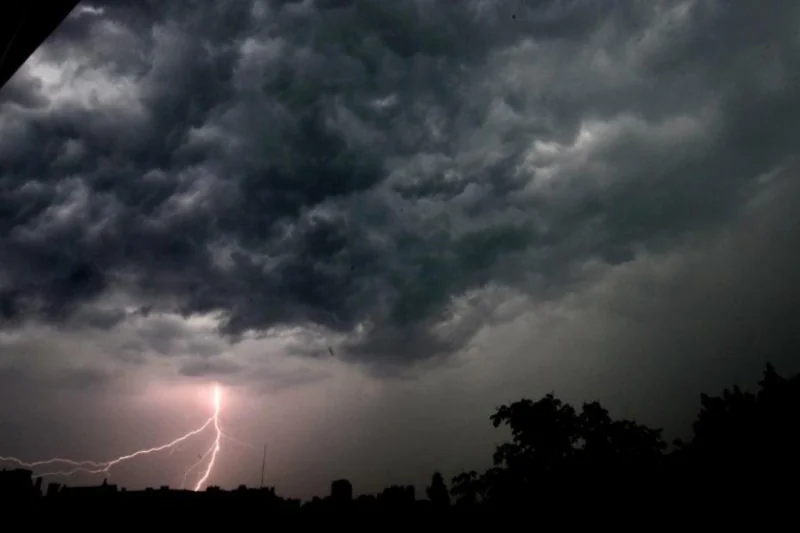
He explained that the contrast between cold upper-level air and warmer, more humid surface air has created atmospheric instability, producing active cumulonimbus clouds capable of heavy rainfall and localized hail in short periods.
Regarding hail formation, Youabed said the precipitation occurs when water droplets reach extremely cold layers of the atmosphere, gradually freezing into ice nuclei. These grow as they move within the cloud due to air currents before falling to the ground when the currents can no longer support them. He added that a cut-off upper-level low over the region intensified and prolonged the storm activity.
Looking ahead, the meteorological agency expects intermittent thunderstorms to continue for the remainder of the week, particularly in mountainous and central areas, as the low-pressure system moves toward central Morocco. Conditions are predicted to improve gradually at the start of next week as the Atlantic high-pressure system re-establishes relative stability.
Youabed emphasized that while current weather reflects normal spring dynamics, localized storms may be intense, warranting caution, especially during thunderstorms.








add your comment
Terms of publication : Not to offend the writer, people, sacred things, or attack religions or the divine self, and refrain from racist incitement and insults.