
Morocco is set to experience relative unsettled weather in the coming days due to a low-pressure system centered over the Mediterranean Basin, which will partially affect several regions before gradually weakening, the Moroccan Directorate General of Meteorology said.
Houcine Youabed, head of communication at the agency, said upper-atmosphere data indicate the system will mainly impact northeastern areas, leading to a drop in temperatures, particularly in mountainous regions and the eastern highlands.
He added that a high-pressure system is expected to extend afterward, bringing more stable conditions.
Weather conditions will remain relatively unstable in the coming days, with the eastern and southern regions likely to see unstable cloud formations bringing localized showers, sometimes accompanied by thunderstorms.
Other parts of the country are expected to remain more stable under the influence of high pressure.
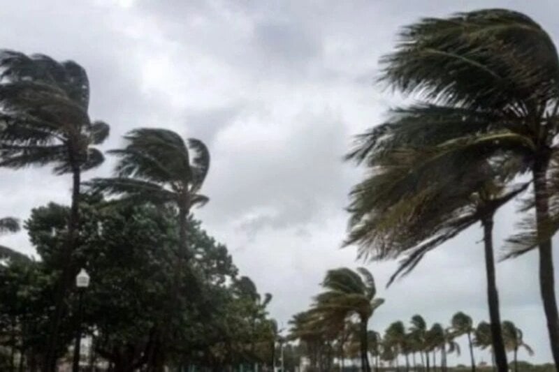
Moderate to strong winds are also forecast across several regions, particularly along the coast and in the south and southeast, and may cause localized sandstorms, especially in desert regions and neighboring areas.
A noticeable contrast between daytime and nighttime temperatures is also expected. Mornings and nights will remain relatively cold, especially in mountainous and inland areas, while daytime temperatures will gradually rise, particularly in southern and desert areas.
On Monday, light and scattered rainfall is expected in the eastern region, with possible snowfall over the eastern highlands.
Cold to relatively cold conditions will persist overnight in the Atlas Mountains, their eastern slopes, the Rif Mountains, and the eastern plateaus.
Strong winds are also forecast in regions including Tangier, the Saïss plains, northern and central plains, the east, the southeast and the southern provinces, with possible sandstorms in southern and southeastern areas.
Daytime temperatures will range between 4 and 11 degrees Celsius in the High and Middle Atlas, 8 to 16 degrees in the Rif and eastern highlands, and 28 to 34 degrees in desert provinces. Temperatures will range from 22 to 28 degrees along southern and central coasts and inland plains, and 16 to 22 degrees elsewhere.
On Tuesday, skies will be partly cloudy in the far south, while cold conditions will persist in the morning and night in mountainous areas.
Moderate winds are expected along northern coasts, with stronger gusts in southern regions and parts of the east, alongside continued risks of sand drift in desert areas.
Minimum temperatures will drop as low as minus 6 degrees in mountainous and eastern regions, while reaching 14 to 20 degrees in the south and Souss. A general rise in daytime temperatures is expected nationwide.
By Wednesday, unstable clouds may bring localized thunderstorms in the far south, with occasional cloud cover over the Middle Atlas and eastern regions.
Winds will remain moderate to relatively strong in southern provinces, mountainous areas, central coasts and the southeast, with continued sandstorm risks.
Temperatures are expected to rise in the east, southeast and desert interiors, while slightly decreasing along southern coasts.
From Thursday onward, conditions are expected to be partly cloudy over mountainous areas and the far south, with generally variable weather across the country.
Moderate to strong winds will persist in southern provinces, while daytime temperatures are expected to rise across most regions.
Meteorologists say these fluctuations are linked to atmospheric dynamics over the Mediterranean and the movement of northern air masses, resulting in alternating periods of cooling and warming, along with localized rainfall and gusty winds.








add your comment
Terms of publication : Not to offend the writer, people, sacred things, or attack religions or the divine self, and refrain from racist incitement and insults.