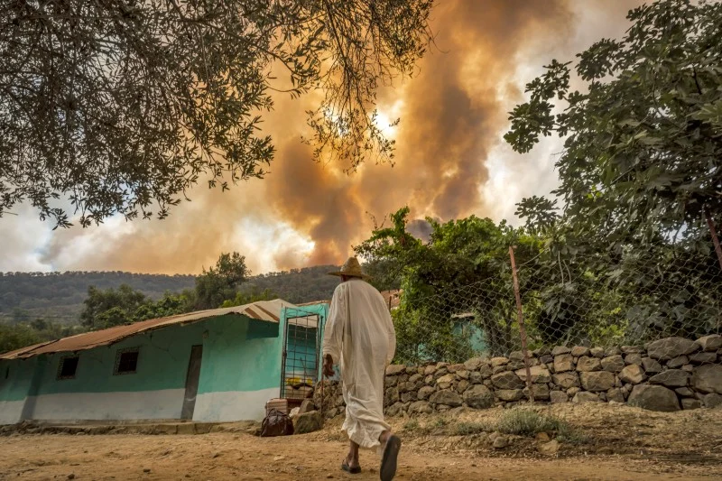
Morocco’s National Agency for Water and Forests has released an updated wildfire risk forecast map for the period from June 16 to June 20, warning of heightened danger across several regions.
In a statement received by Hespress, the agency said the update is part of a proactive strategy to prevent wildfires nationwide. The risk assessments are based on scientific analysis, incorporating data on forest vegetation, its flammability, climatic forecasts, and topographic conditions.
The revised map categorizes Moroccan provinces into three levels of fire danger. Provinces classified under the red alert level—indicating extreme risk—include Azilal, Beni Mellal, Chefchaouen, Kenitra, Khemisset, Larache, Tangier-Asilah, Taounate, and Taza.
Provinces placed under the orange level, signifying high risk, include Agadir-Ida Outanane, Al Hoceima, Berkane, Fahs-Anjra, Ifrane, Khénifra, M’diq-Fnideq, Nador, Ouezzane, Oujda-Angad, Skhirat-Témara, Taourirt, Taroudant, and Tetouan.
Regions such as Essaouira, Rabat, Salé, Sefrou, and Sidi Slimane fall under the yellow alert, representing a moderate risk of wildfire.
As summer approaches, the agency emphasized the importance of vigilance and precaution, particularly among residents living near forested areas, forestry workers, vacationers, and visitors.
The agency urged the public to avoid activities that could spark fires and to immediately notify local authorities if they observe smoke or suspicious behavior in or near wooded zones.





add your comment
Terms of publication : Not to offend the writer, people, sacred things, or attack religions or the divine self, and refrain from racist incitement and insults.