
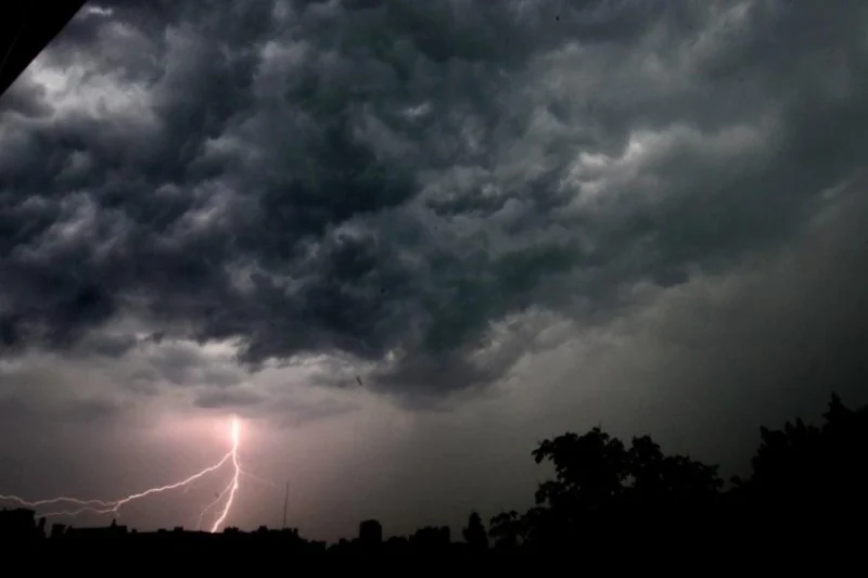
A deep low-pressure system forming over northwest Europe has extended its influence to northern Morocco, causing noticeable weather changes in recent hours, according to the General Directorate of Meteorology.
Houcine Youabed, head of communication at the directorate, reported that the system began impacting Morocco on Monday afternoon and persisted into Tuesday morning. He emphasized the importance of adhering to guidance from local authorities and meteorological services during this period of significant climatic instability.
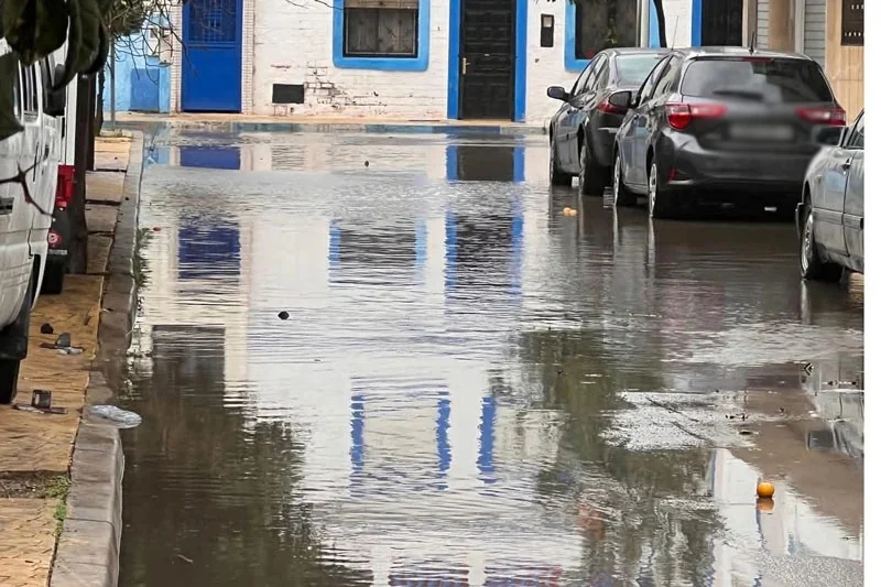
Rainfall was recorded over the past 24 hours in areas such as Tangier, Loukkos, the Rif region, and Gharb. Overnight, precipitation expanded to cover Saïss, the Middle and High Atlas, the Mediterranean coast, and northern parts of the eastern region. Light snowfall was also observed on the peaks of the Middle Atlas.
For Tuesday, light rainfall is expected to continue in Tangier, Loukkos, the Rif, the Mediterranean coast, Saïss, the High and Middle Atlas, and northern parts of the eastern region. Clear to partly cloudy skies will prevail in central and southern areas. Winds will remain strong in some regions, with an orange-level alert issued for the Rif, Tangier, the Middle Atlas, the Mediterranean coast, and northern areas of the eastern region, where wind speeds are expected to range between 75 and 95 km/h.
Youabed added that beginning Wednesday, a new low-pressure system approaching from southern Europe will bring more rainfall to northern Morocco. By Wednesday evening and Thursday, rain will return to the northern Atlantic plains, the Rif, the Middle and High Atlas, the Mediterranean coast, and the eastern region. Heavy snowfall is forecasted Thursday for elevations above 1,400 meters, with snow depths reaching up to 50 cm in areas like Ifrane, Midelt, Boulemane, and Azilal. The Rif regions, including Al Hoceima and Chefchaouen, may see snow accumulations of 5 to 10 cm.
Additionally, Thursday will see strong winds in northwestern regions, particularly along coasts and mountainous areas, while the Atlantic coastline from Larache to Tarfaya will experience very rough seas, with waves reaching heights of 4.0 to 6.5 meters.
Youabed urged residents to avoid unnecessary travel in areas affected by snow and strong winds and advised sailors and coastal visitors to exercise extreme caution, especially in regions with elevated waves.
Explaining the factors behind the high ocean waves, Youabed pointed to intense winds driven by the steep pressure gradient between the deep low-pressure system and the Azores High. The winds, exceeding 100 km/h, combined with the expansive reach of the system across the Atlantic Ocean, have amplified wave height, further augmented by strong tidal activity, particularly along open coastal areas.







add your comment
Terms of publication : Not to offend the writer, people, sacred things, or attack religions or the divine self, and refrain from racist incitement and insults.